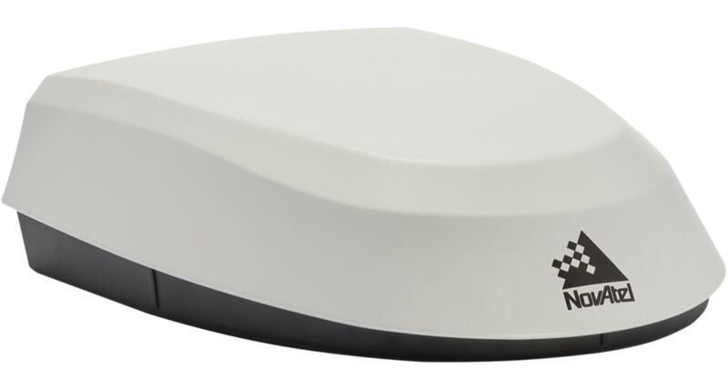
SMART7-S
The SMART7-S combines a NovAtel OEM7® receiver, VEXXIS® antenna and an Inertial Measurement Unit (IMU) in a durable and waterproof enclosure. The SPAN® technology tightly couples the inertial measurements with GNSS to improve position accuracy, bridge GNSS outages, provide attitude information and terrain compensation.
Features
- GPS, GLONASS, BeiDou, Galileo, QZSS plus TerraStar correction signal reception
- Centimetre-level NovAtel CORRECT® TerraStar-C PRO and RTK accuracy
- Simultaneously track up to three TerraStar correction service satellites
- 15 cm pass-to-pass accuracy using TerraStar-L
- Integrated IMU for SPAN INS functionality
- Optional heading and relative positioning using ALIGN®
- Advanced ISOBUS CAN bus functionality supports firmware update
- Supports NovAtel's STEADYLINE® and GLIDE®
Attributes
| System Type | Enclosed with Antenna | |
| General Info | Width | 192 |
| Length (mm) | 220 | |
| Height (mm) | 66 | |
| Weight (kg) | <1.1 | |
| Typical Power Consumption (W) | 4 | |
| Signal Tracking | GPS | L1, L2, L2C, L5 |
| GLONASS | L1, L2 | |
| Galileo | E1, E5a/b, E5 AltBOC | |
| BeiDou | B2l, B1C, B2l, B2a | |
| QZSS | L1, L2 | |
| SBAS | L1 | |
| L-Band (TerraStar) | ||
| Number of Com Ports | RS-232 | 3 |
| CAN Bus | 1 | |
| 1 PPS | 1 | |
| Ground Speed Output | 1 | |
| Performance | Accuracy | |
| Single Point L1/L2 | 1.2 m RMS | |
| SBAS | 60 cm RMS | |
| DGPS | 40 cm RMS | |
| TerraStar-C PRO | 2.5 cm RMS 3 cm 95% | |
| RTK | 2.5 cm + 2 ppm (95%) |