Oceanix Correction Services
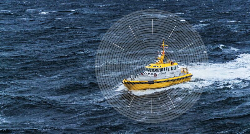
Oceanix Nearshore correction service delivers exceptional sub-decimetre positioning for diverse marine applications including dredging, hydrographic survey and mapping. The high-rate corrections broadcast enables carrier phase ambiguity resolution within the GNSS receiver, greatly enhancing the accuracy and speeding recovery from GNSS signal interruptions.
Oceanix Nearshore includes precise GNSS clock and orbit correction data providing high accuracy sub-decimetre solutions worldwide1:
- 3 cm horizontal and 5 cm vertical accuracy RMS2
Oceanix Nearshore correction service is offered with multiple subscription durations.
Service Levels
| Performance | Oceanix |
| Horizontal Accuracy3 |
2.5 cm (RMS) 3 cm (95%) |
| Vertical Accuracy3 |
5 cm (RMS) |
| Convergence Time4 |
< 18 min |
| Supported GNSS | GPS/GLO/GAL/BDS |
| Supported Platform | OEM7 |
Benefits
- Proprietary network with over 90 global GNSS reference stations
- Corrections data delivered via geostationary satellites for worldwide coverage
- Multiple GNSS constellations
- Supported on all OEM7® platforms
- Control over entire data generation process
- Customer support for the entire positioning solution from NovAtel
1 Calculated from 7 day static data. Accuracy will vary with observing conditions.
2 Limited by GEO satellite coverage and receiver antenna performance.